- Monday - Friday 08:00-17:00
- (+62) 21-2002-2012
From federal government to provincial and to district level agencies overseeing land use and development, to the analysts and engineers who translate data into actionable insights and user-friendly platforms, Cyberstate Technologies provides the necessary tools for accessing crucial land parcel information.
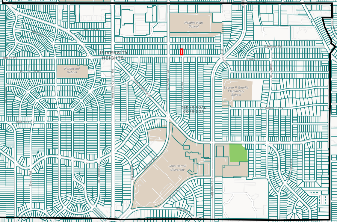
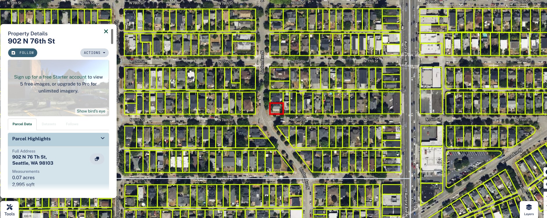
Our Parcel mapping services comprise of a series of steps that defines the process in which land parcels are created. The maps created using parcel mapping services comprise of polygons which are created from the base map, which shows the details of the ownership of the properties and related information. The base maps for parcel mapping services are technically cadastral maps showing each individual plots in different sub divisions. The land parcels in the parcel mapping service are the fundamental data layer over which multiple types of data is referenced. Our GIS team consists of technicians, specialists, software developers, and designers who share extensive cumulative knowledge and understanding.
Landbase parcels polygons data layer are created in geographical information systems (GIS) software to display the location of the right of way. The parcels polygons layer delineates the right of way from Landbase parcels lots. The parcels polygons layer is a feature class in the Geodatabase dataset. The layer consists of spatial data as a polygon feature class and attribute data for the features. The area inside a polygon feature is a parcel lot. The area outside of the parcel polygon feature is the right of way.
For field surveys specifically acquiring parcel data related to tax assessment, property sales, easement, lien, land use, and condition, our approach is to conduct a pilot data collection for smallest unit to test the efficacy of the research design and to refine the approach and design before the main data collection phase.
The technology we use includes databases for attributes and spatial information; standardization technology—such as extract, transform, and load programs—for building the standardized data; data archiving and backup processes and support. Cloud connectivity transfers the data from the field to the office, allowing for quick analysis. Mapping products are prepared using the latest releases of AutoCAD Civil 3D, and ArcGIS software.
Satellite Imagery Base maps are the foundation for mapping in advanced world. With geospatial data as integral to our solution that is necessary for decisions about Imagery base maps produced from high-resolution satellite imagery that provide a consistent, predictable foundation for local Parcel Digitization projects.
The Imagery Base maps use Feature extraction to Extract roads, buildings and parcels, identify land use, and track change at local scale. Satellite Imagery provide ‘Vivid Imagery Base Map Layer’. Vivid offers a suite of off-the-shelf imagery base maps with up to 30 cm resolution and 5 m CE90 spatial accuracy. Vivid Imagery Base Map Layer’s are produced with the most current, clear imagery available. With high-quality image layers available immediately around the globe.
Our expertise helps in enhancing land management practices, mapping land use and land cover changes, protecting natural resources and monitoring urbanization trends. Our Reference Layer portfolio offers the most comprehensive range of Digital Elevation Models (DEMs), global Basemap and Ground Control Points.


Nisi conubia taciti eget erat auctor. Ridiculus sodales dui dis arcu dictumst sed magna per.